Poo Poo Point: Haha, So Funny Name. Such Value Hike. Wow.

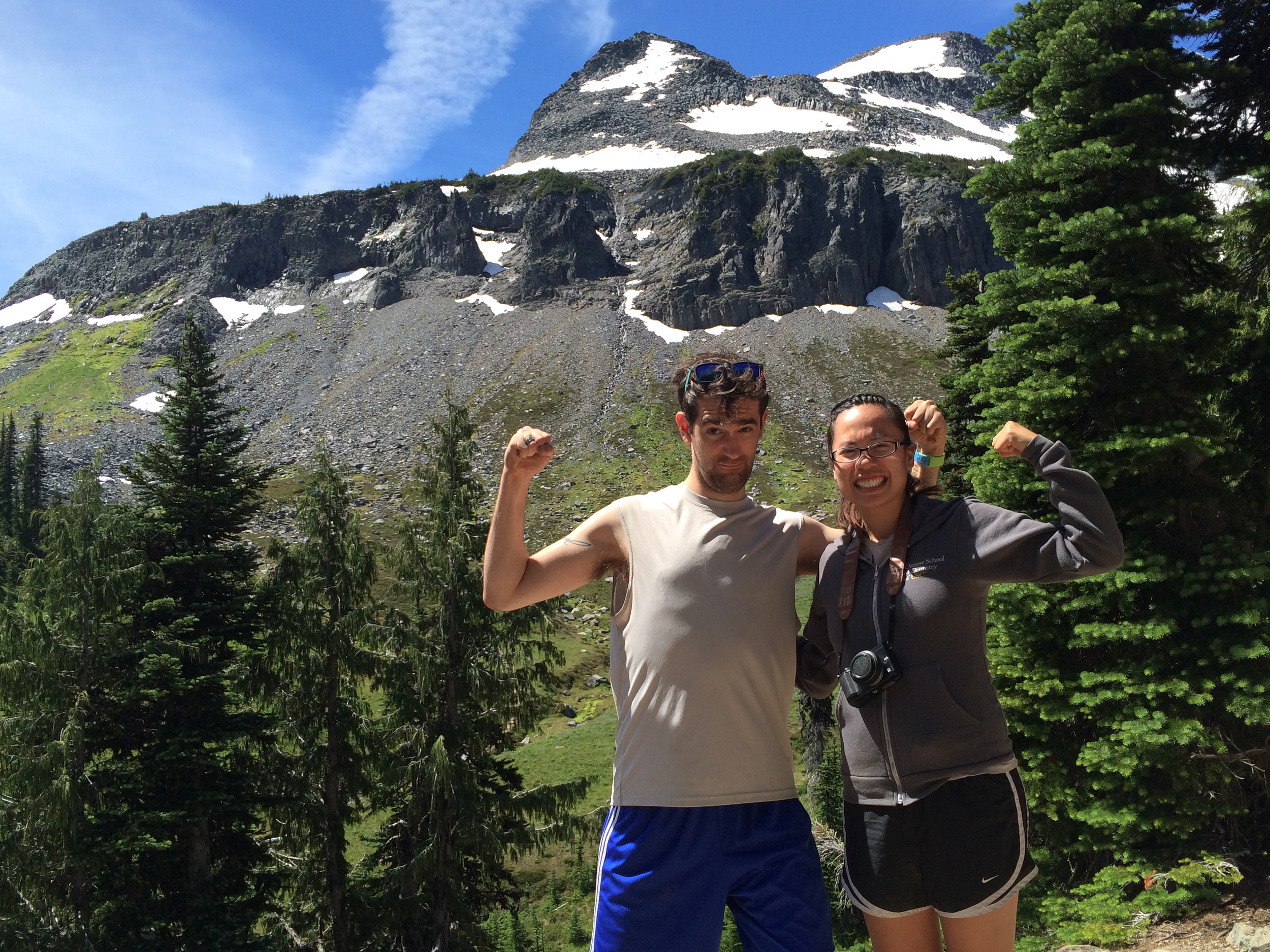
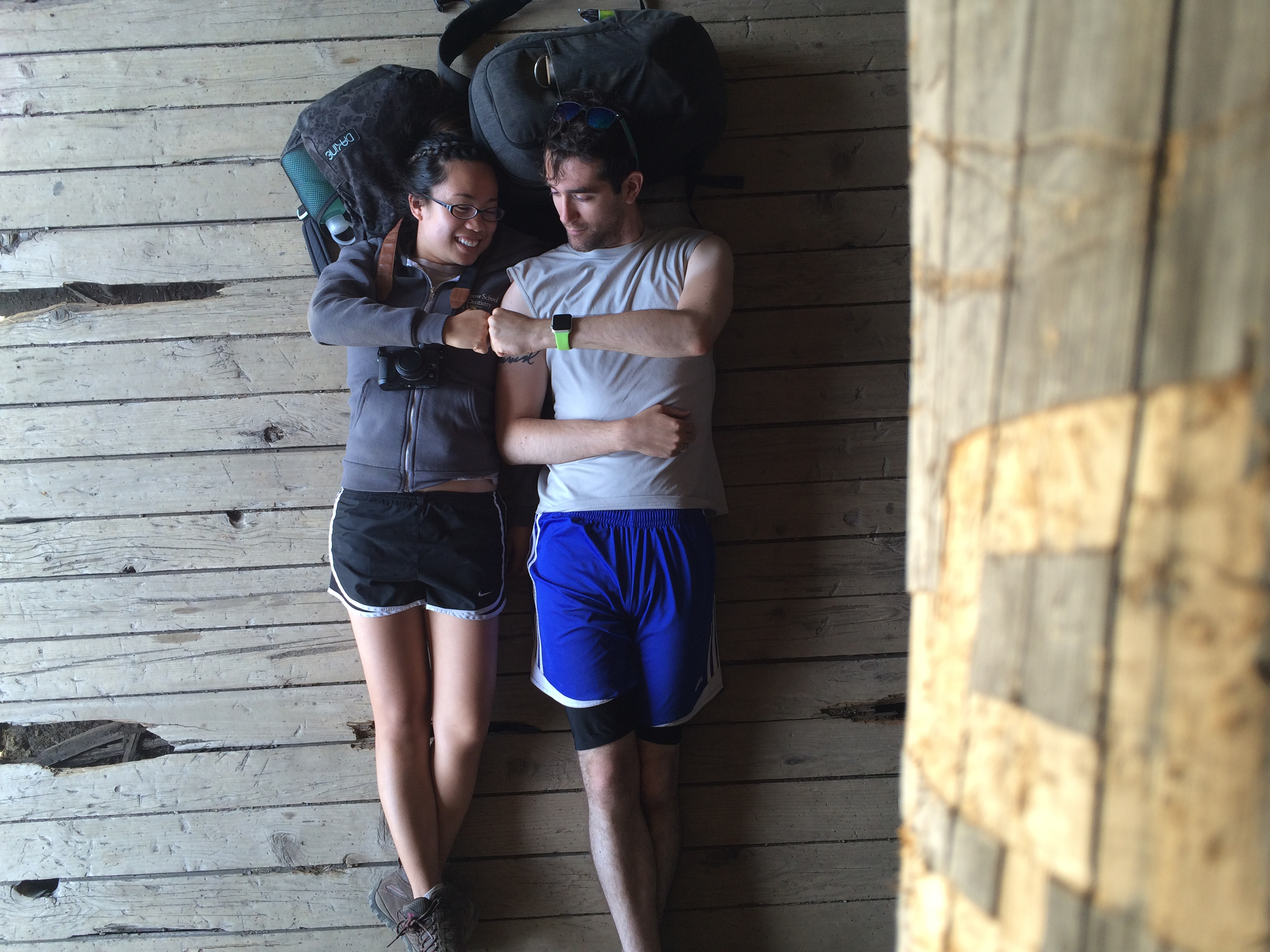
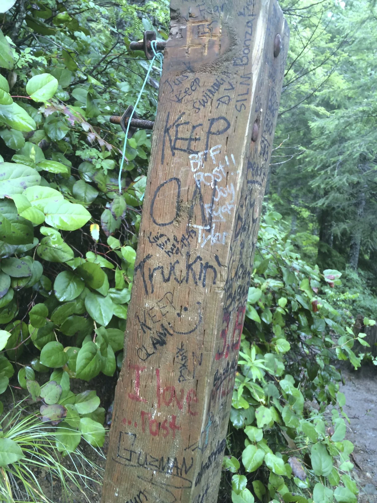
Yeah, I chuckled too when I read the name of this hike.

Soooo, now that we have that out of the wa - Actually, no. Poo Poo Point? Really? Somewhere, some guy that named this hike dropped a deuce somewhere on this trail (NO, do NOT look for it) and now we have to deal with that for the rest of eternity. Great. 

...Or do we? This trail starts at the same trailhead as The Chico Trail, so if you feel better calling it that, go for it. I, for one, am getting attached to Poo Poo. Wait. That doesn't wor - nevermind! GOSH. 

Here you go, trail report.

...Geez.

The Basics

  • Roundtrip with breaks: 2 hours, 44 minutes
  • Car to summit: 58 minutes
  • Summit to car: 52 minutes
  • elevation gain: ~1700 feet
  • lots of trail, not a lot of lookouts
  • very steep at points
 

Maps originally wanted to take me to the high school that was close by, but I said "Hey, maps. I did my time." Beautiful hike, not very many lookout points though. If you want something with crazy views and not too much of a crazy hike (it is 8 miles round trip though), I would recommend checking out Mount Pilchuck.

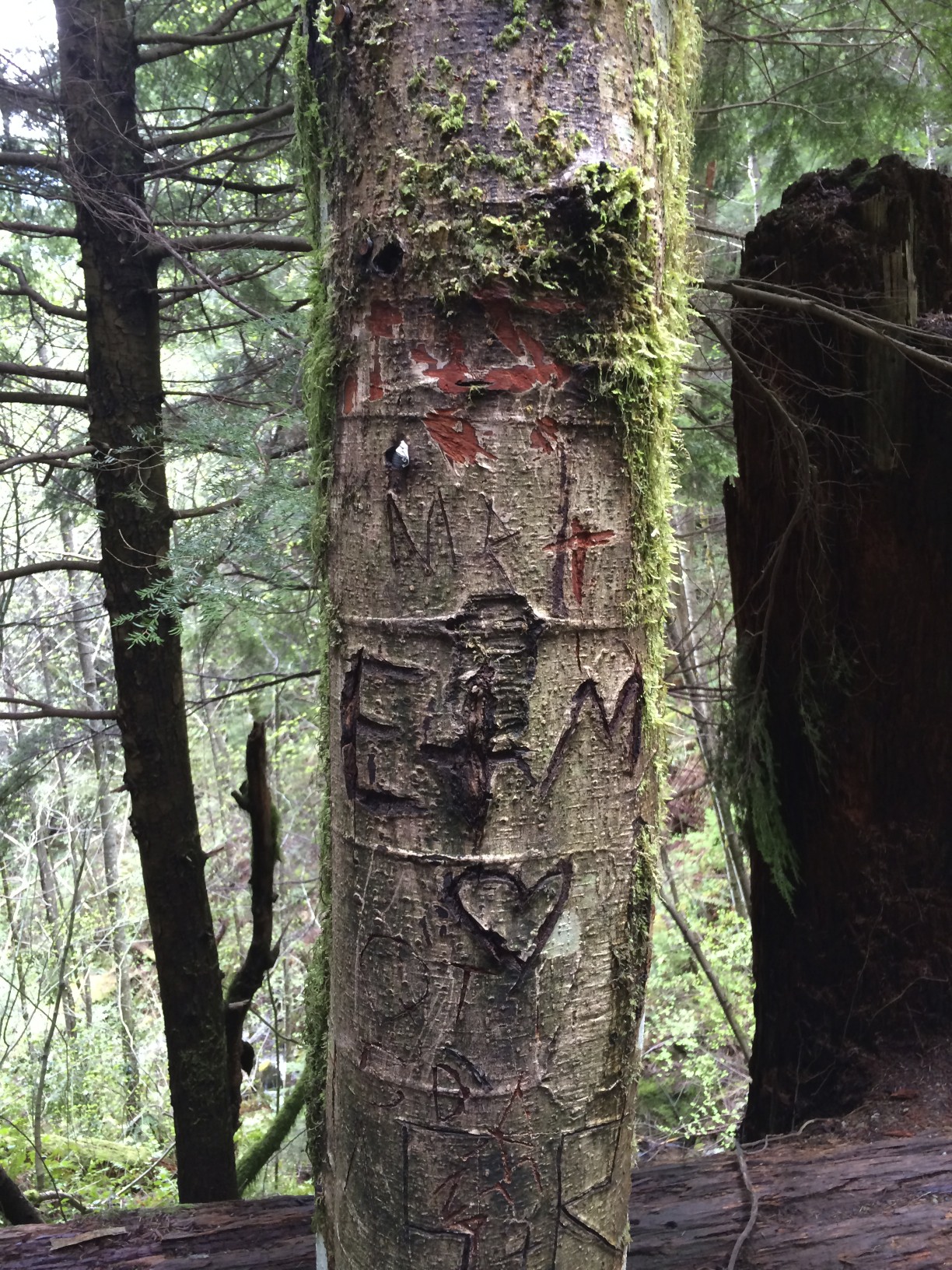
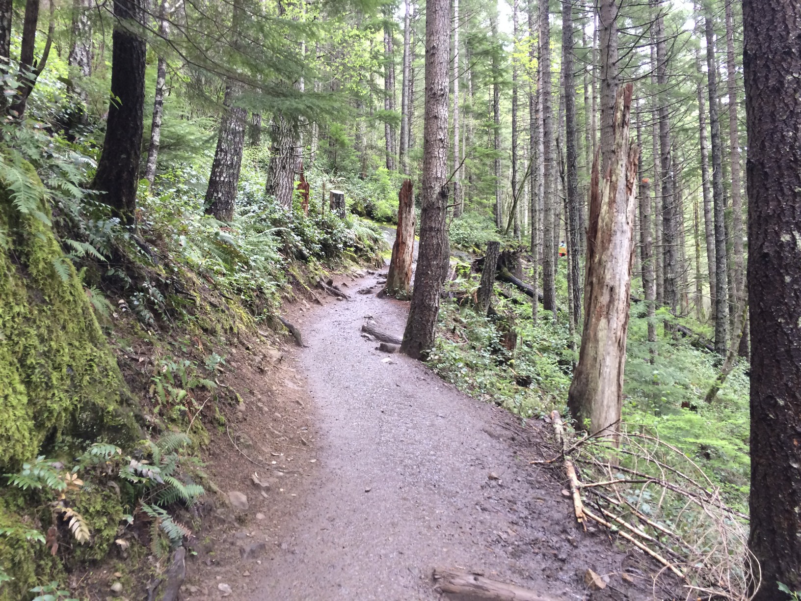
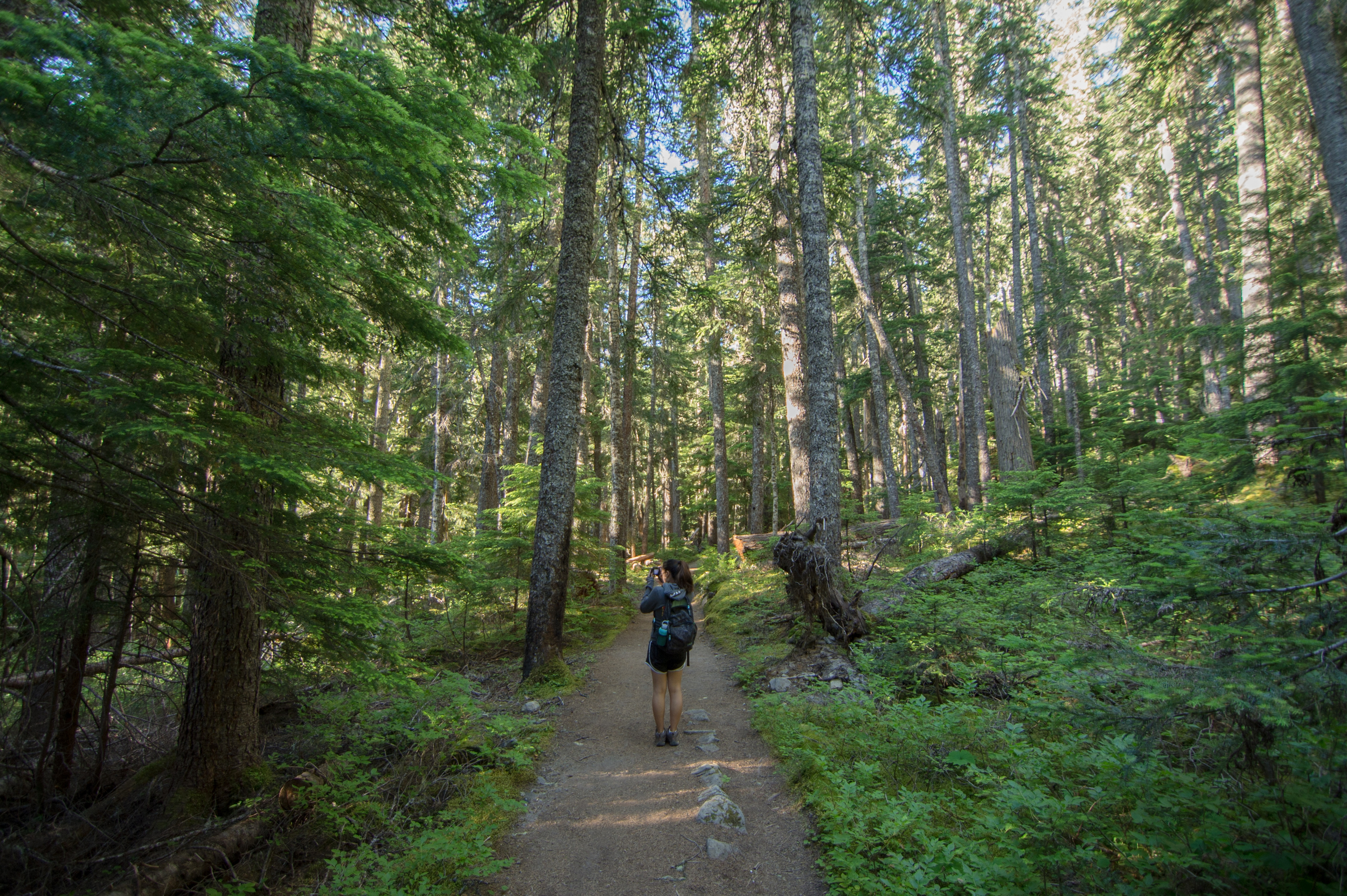
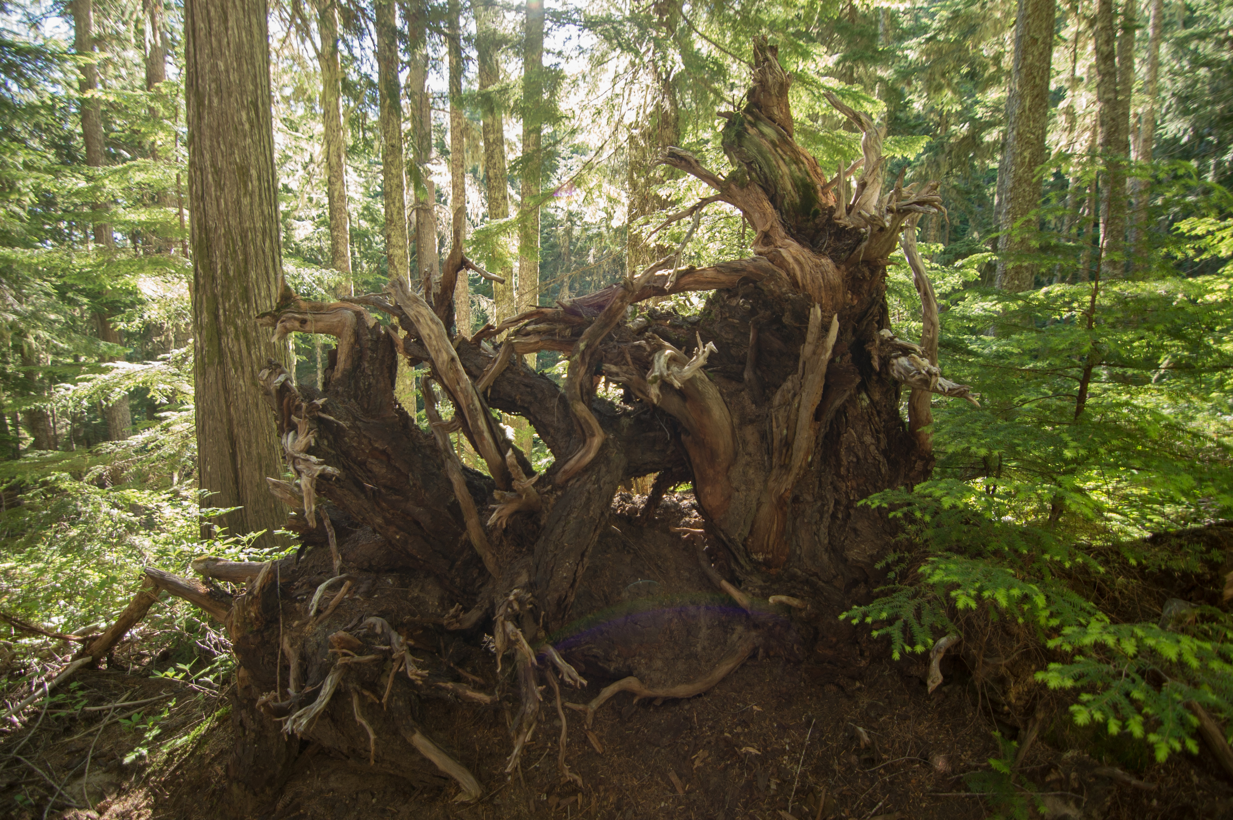
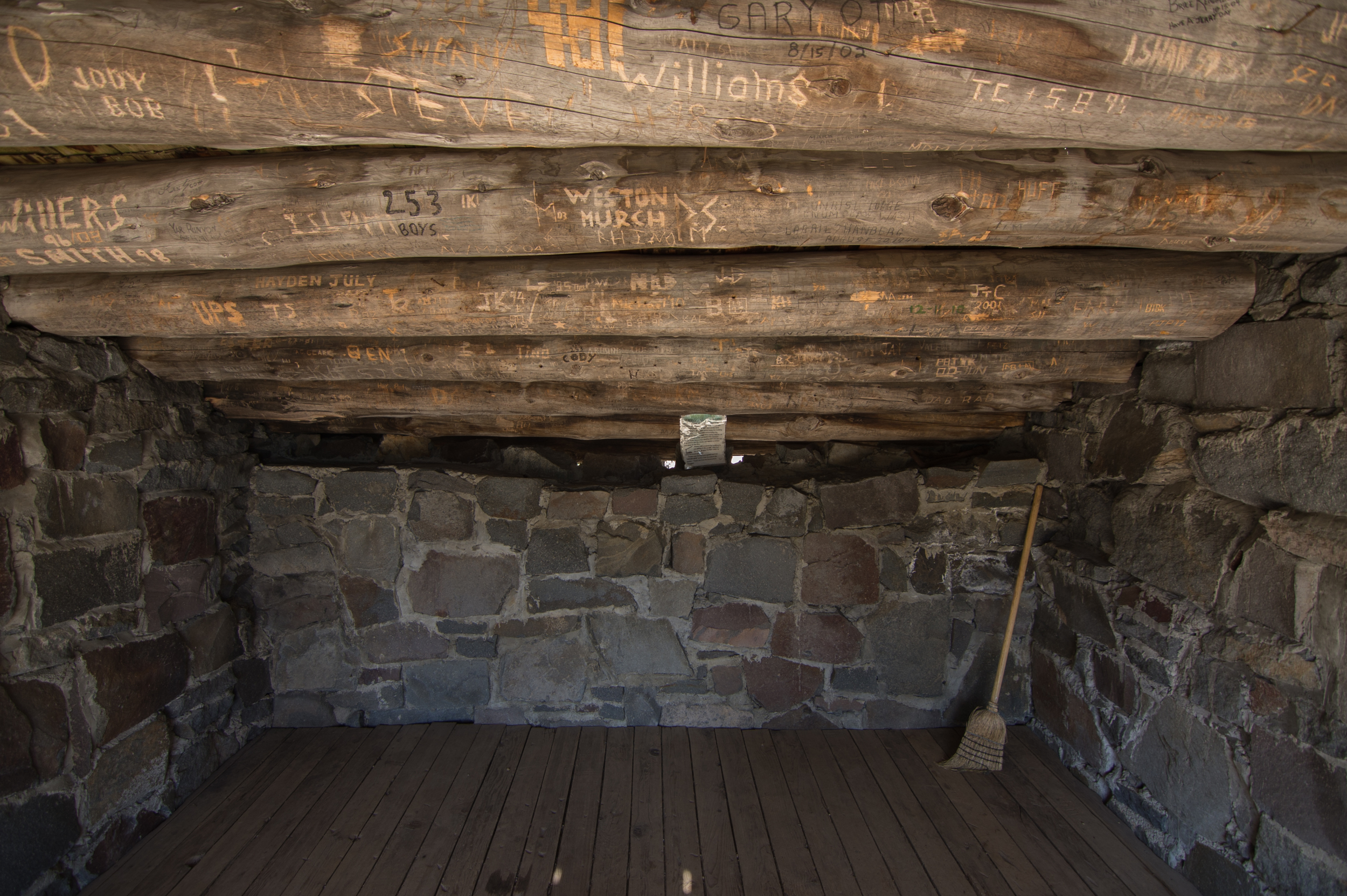
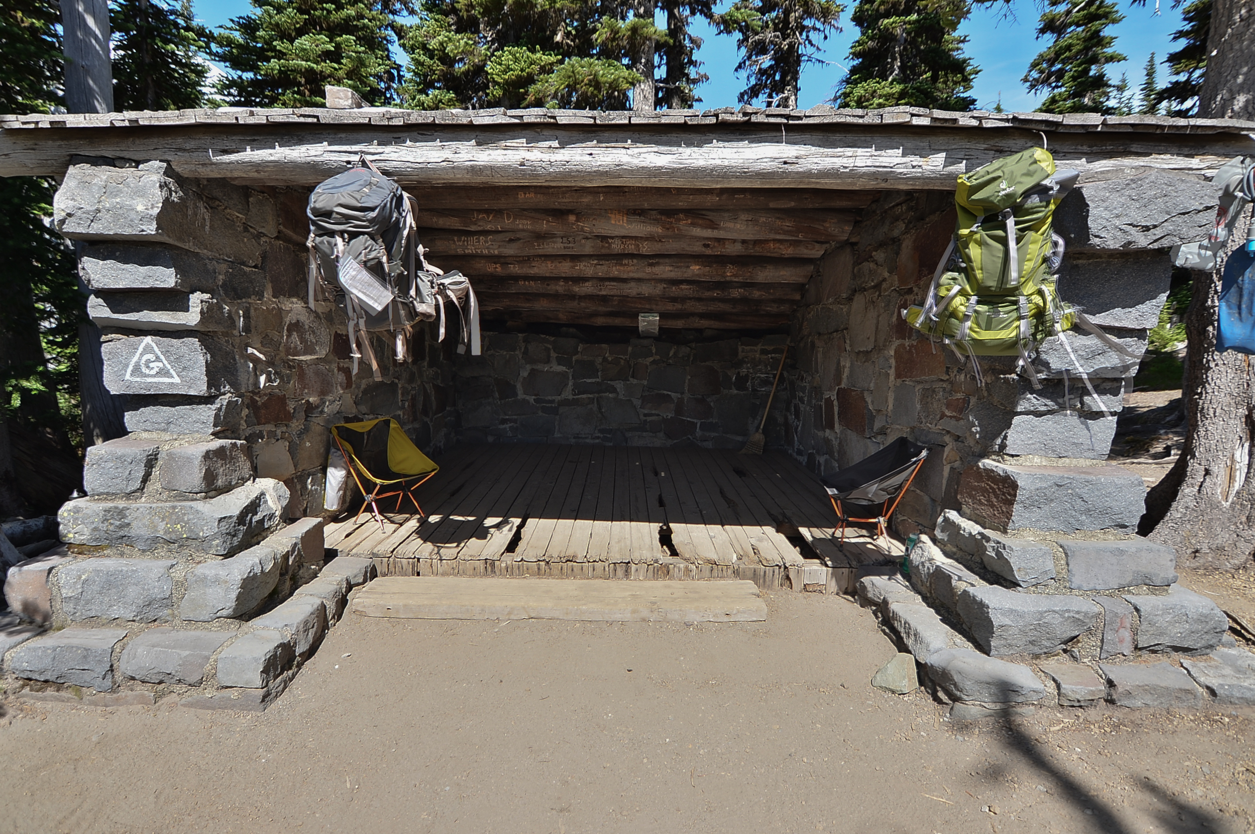
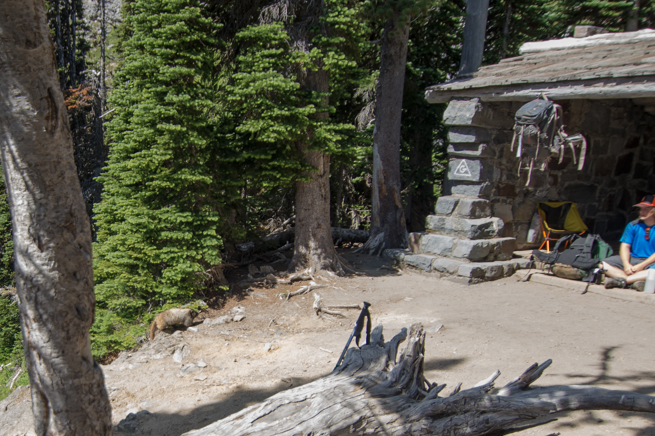
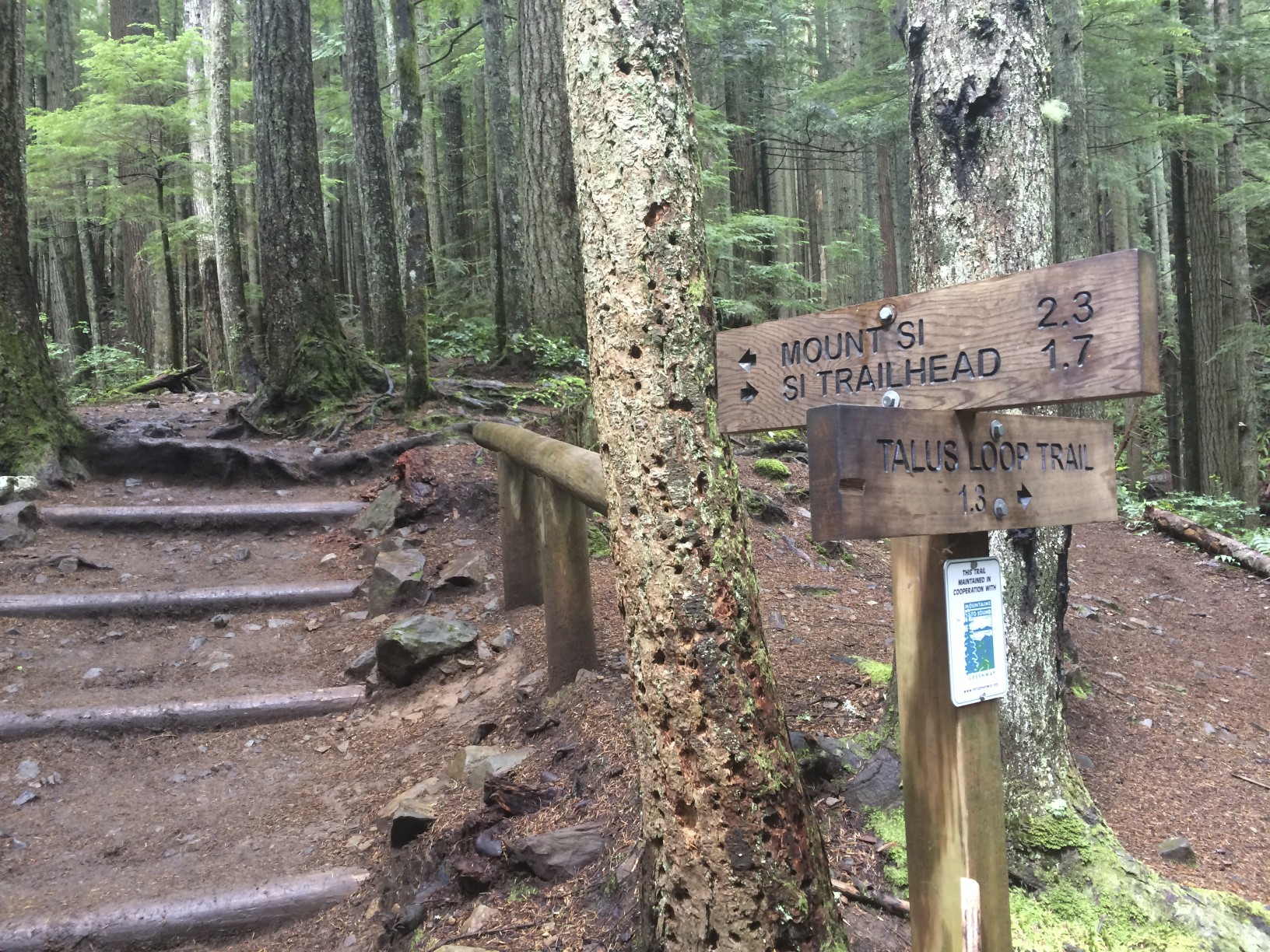
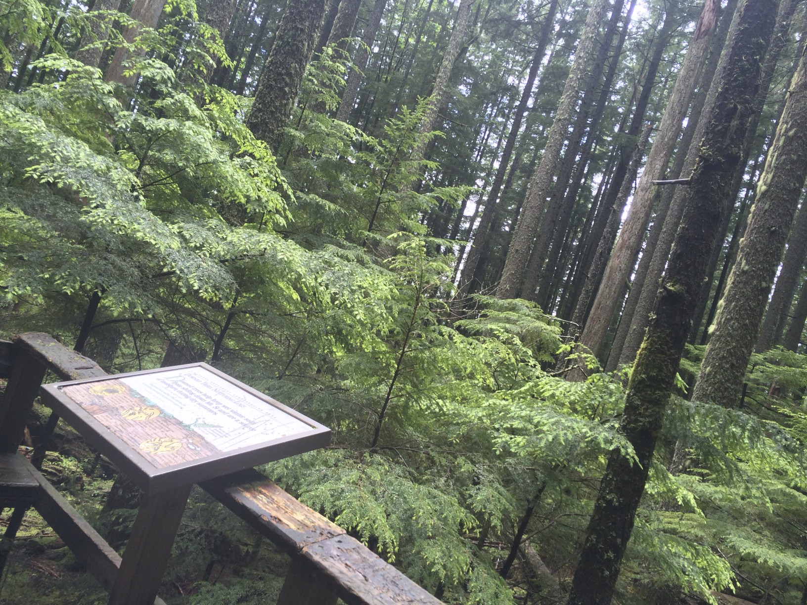
Definitely some great trail maintenance on Poo Poo Point! While I was on the trail I walked across some WTA folks working on a blown-down tree. I've always wanted to volunteer with them, seems like it would be pretty cool. The trailhead is obvious once you've parked.

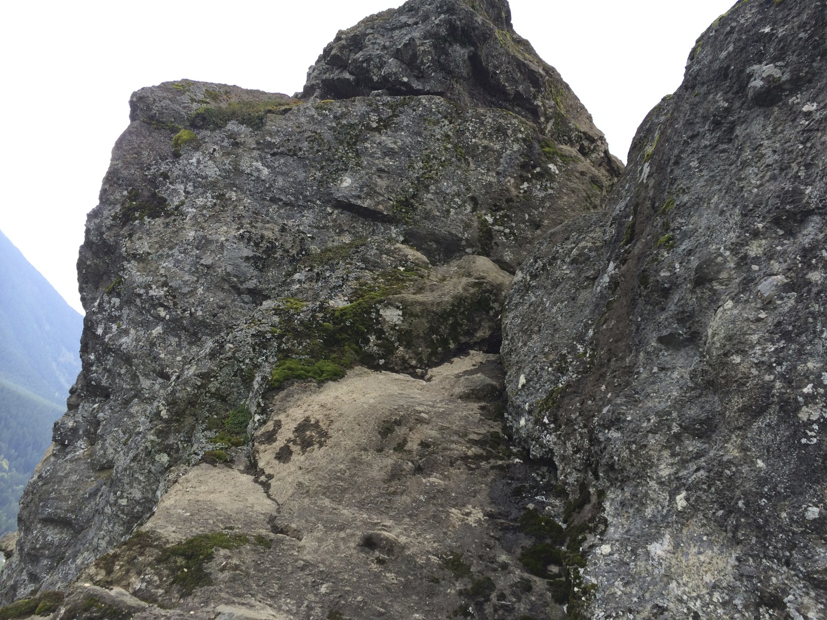
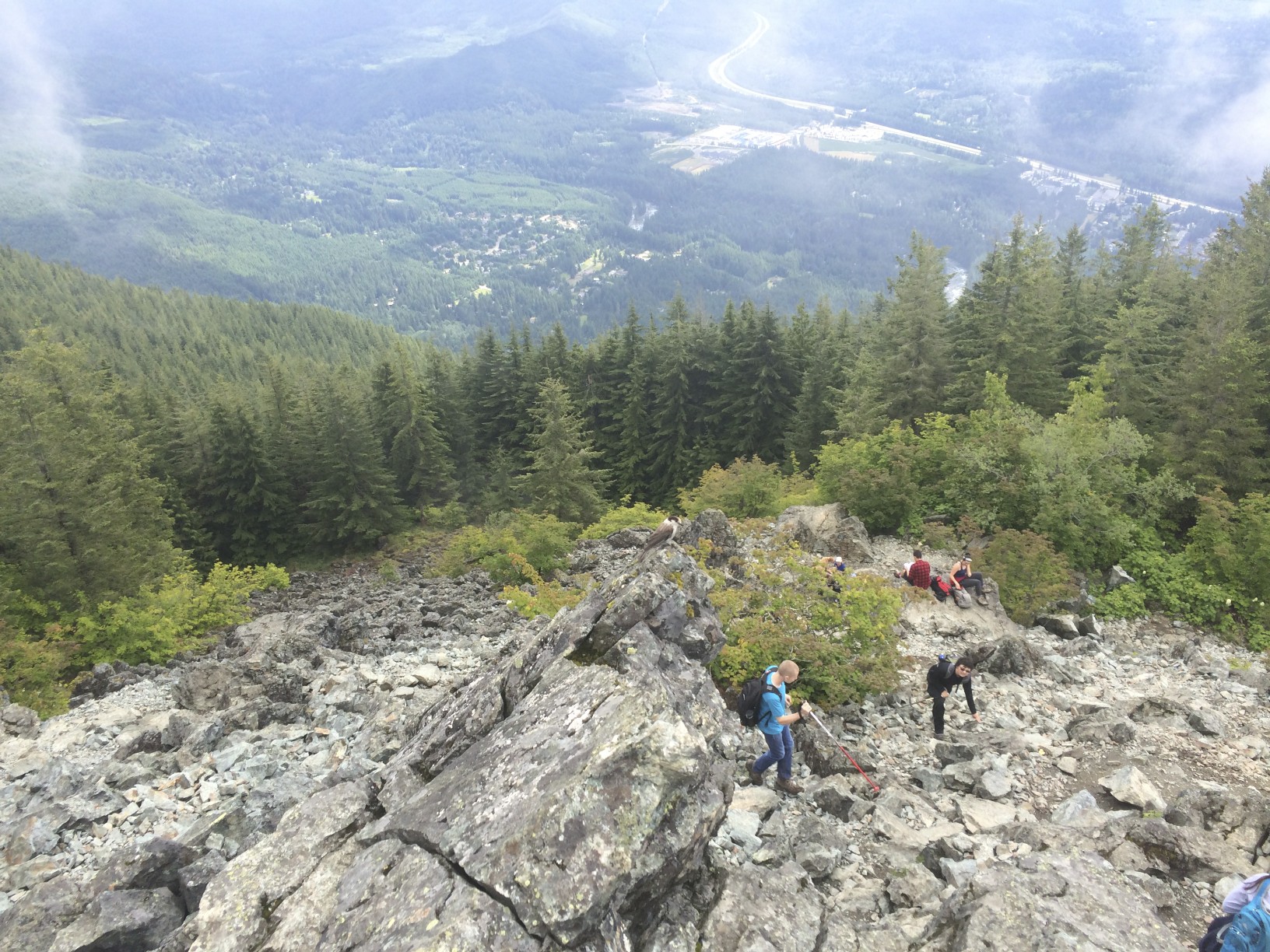
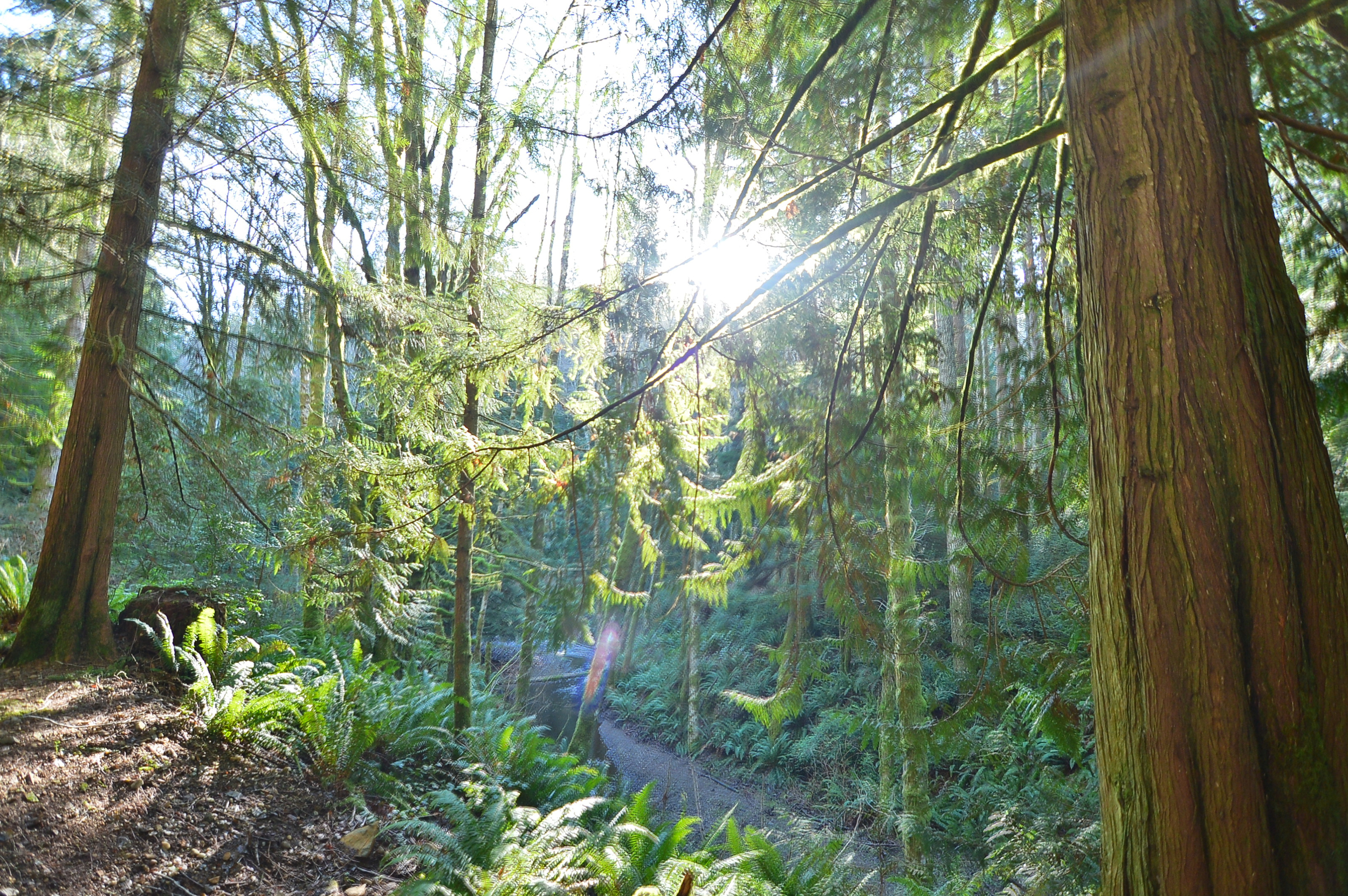
The beginning has a good amount of rocks and boulders in the steps. 

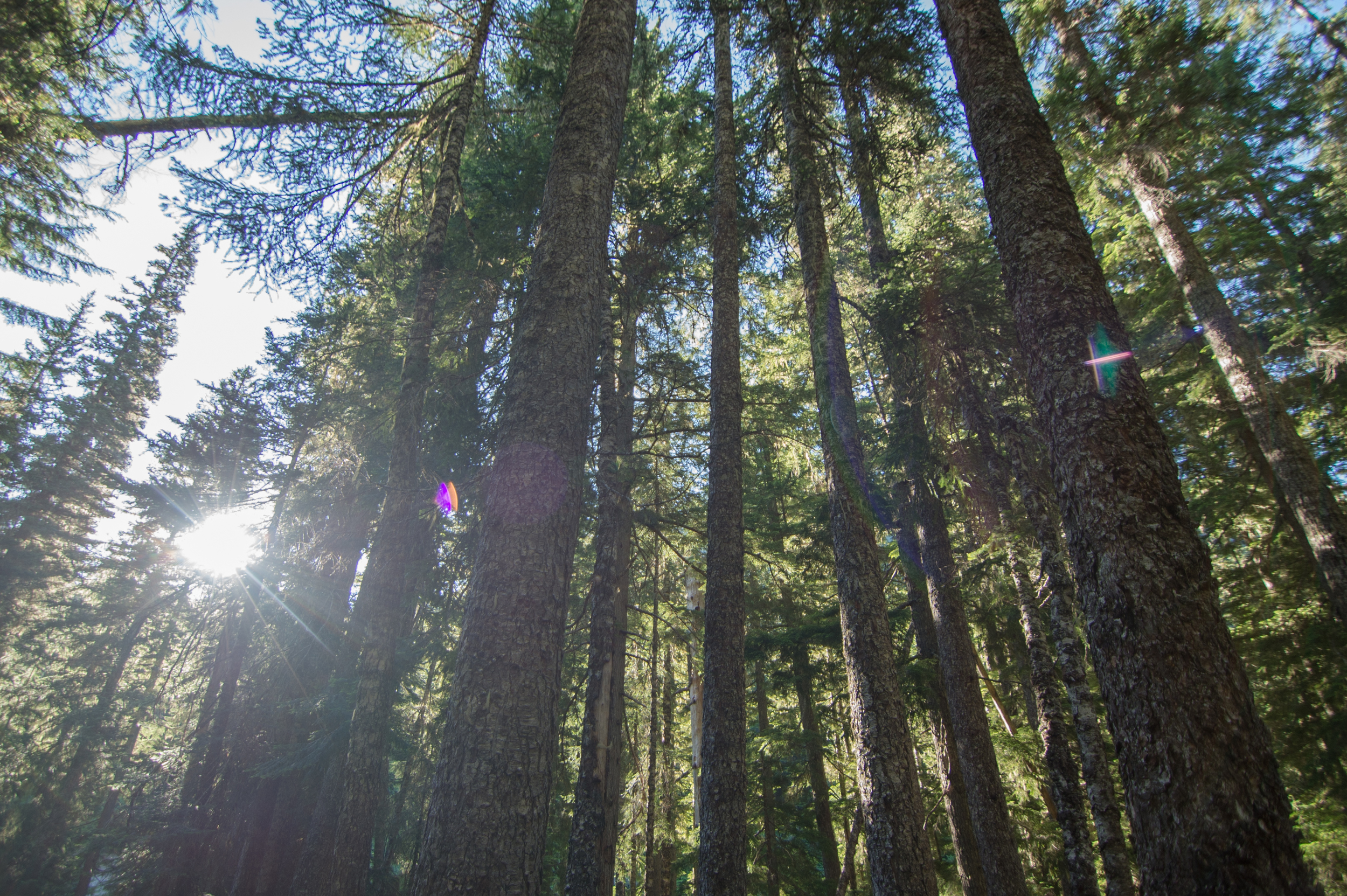
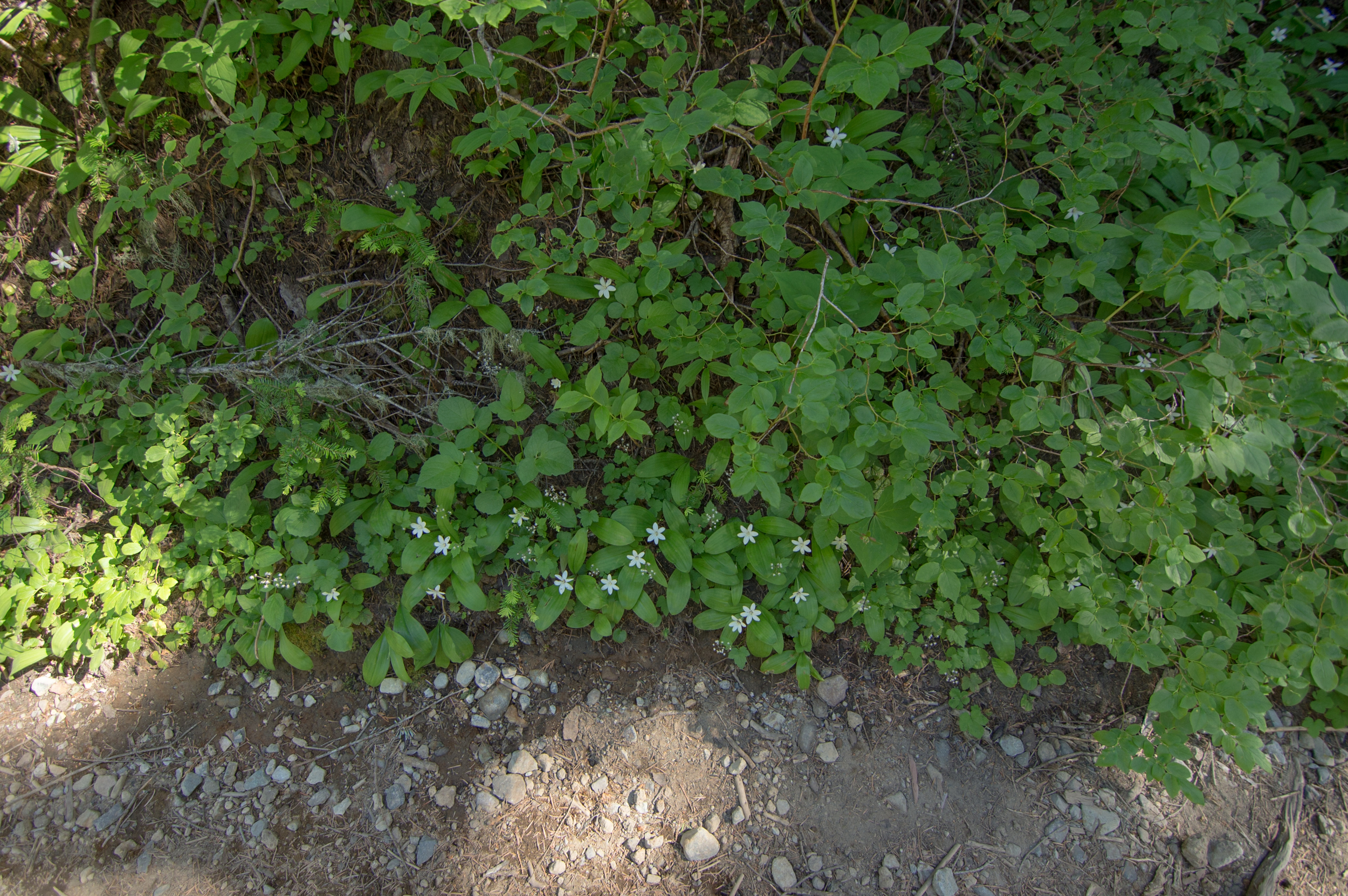
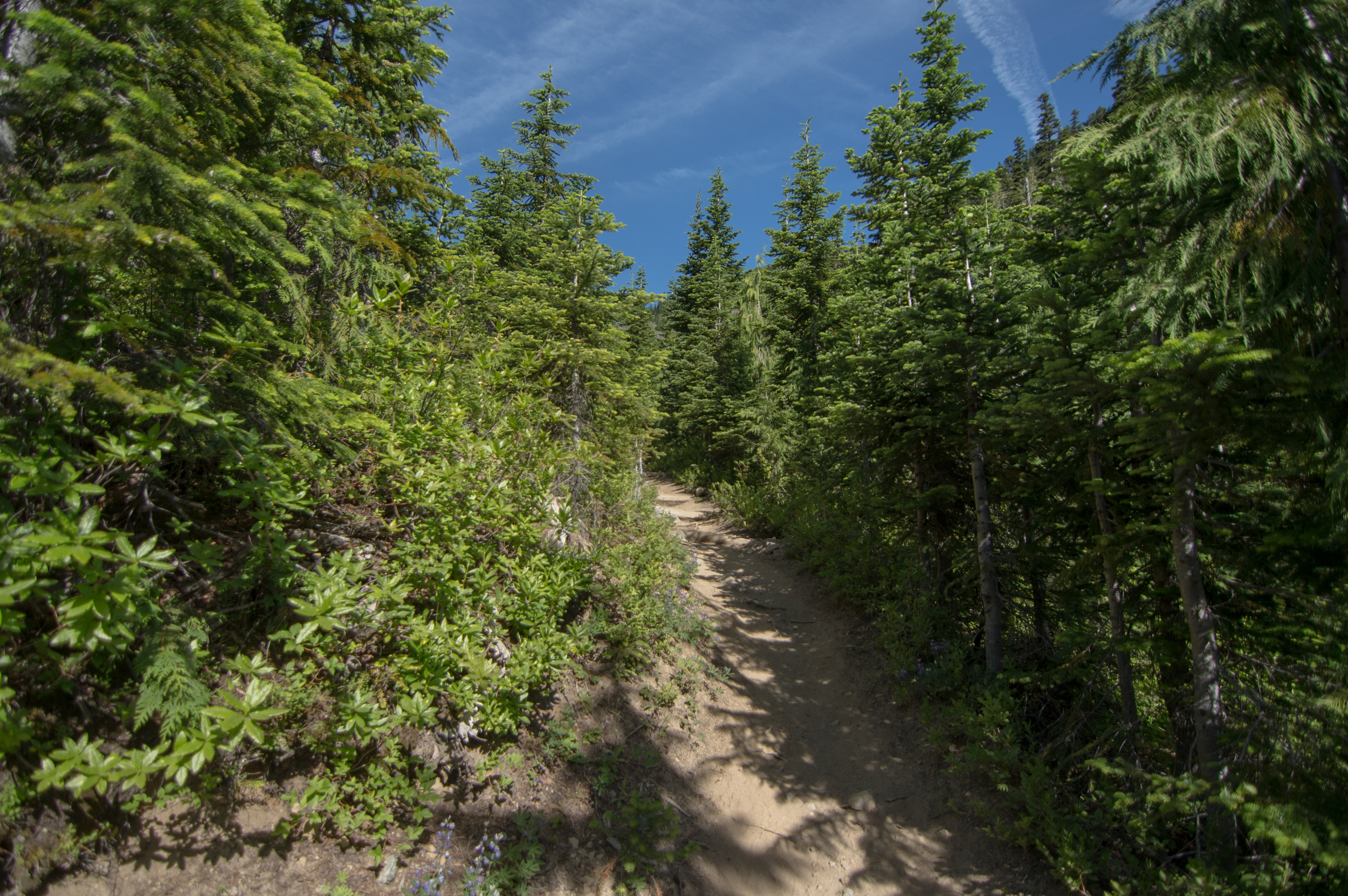
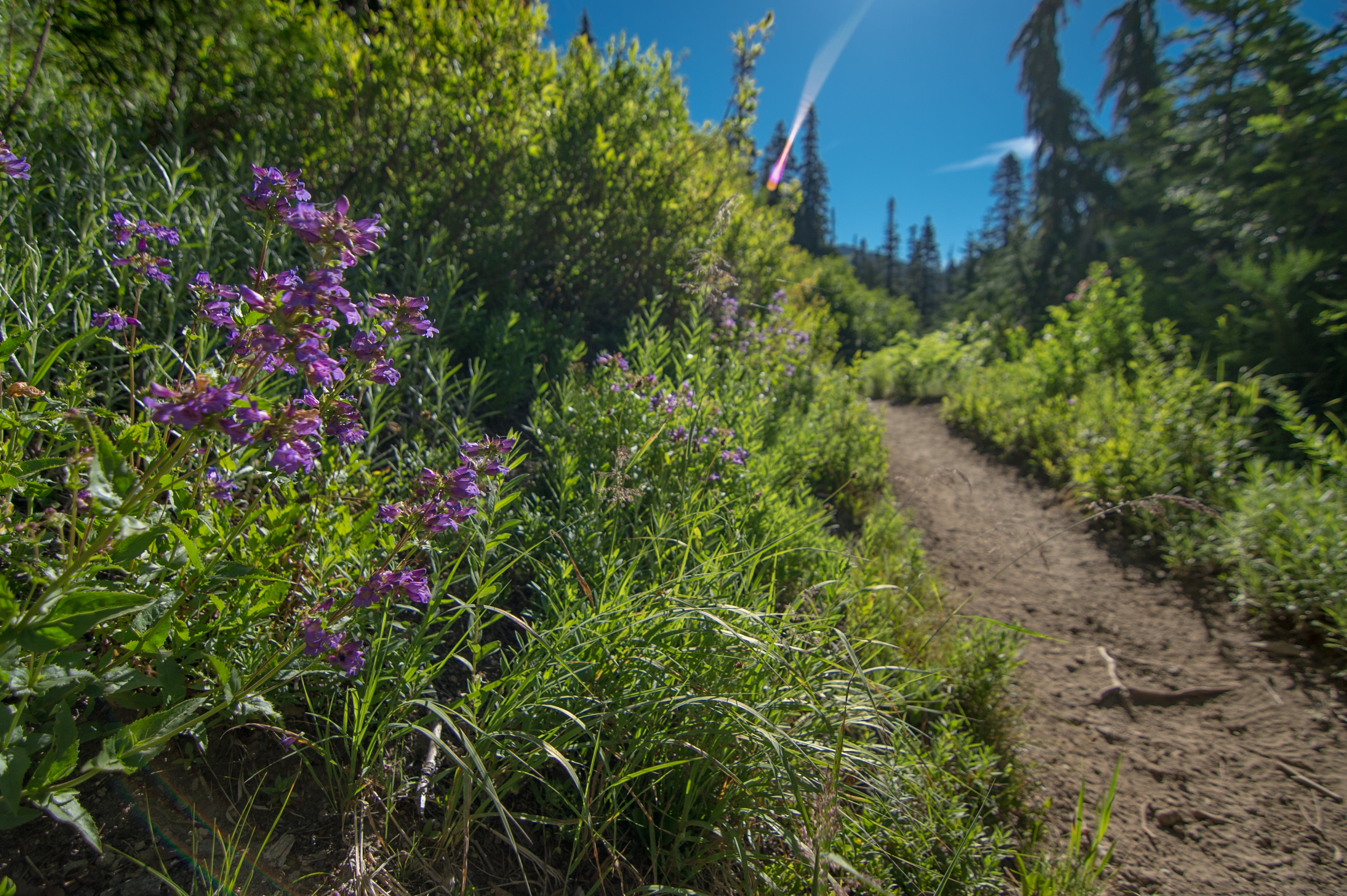
After a while it smooths out in terrain but does not let up in terms of incline. You (more specifically your calves) will know this is definitely a quick ascent in a small amount of time. Definitely has its reprieves, though.

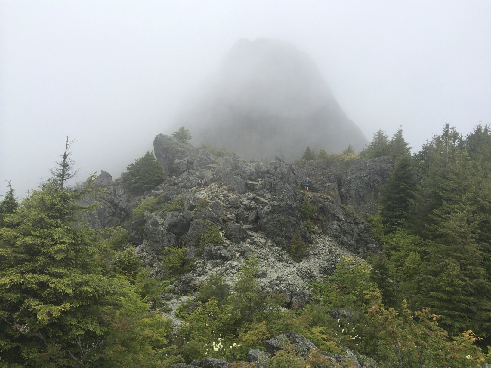
About 2/3 of the way to the main lookout point, there's another at an opening in the trail.

Head to the entrance on the left to continue your way on the trail. Right here, though, is a nice spot to take a quick little breather. At least when I was here, there was a bench before continuing onward. Once you're all rested, keep going. 

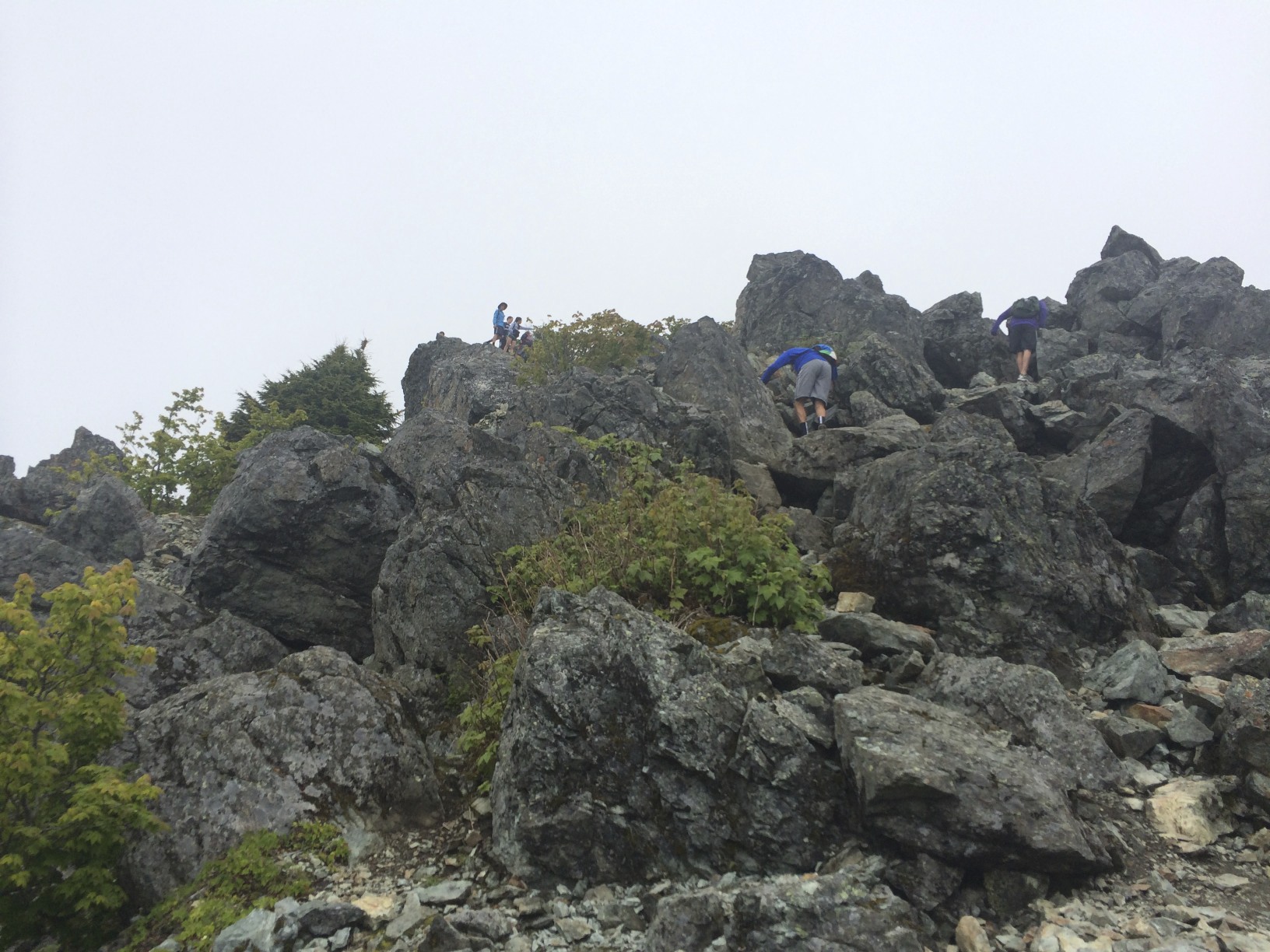
With this last incline (which is a doozie), you'll be ready to be done. No joke.

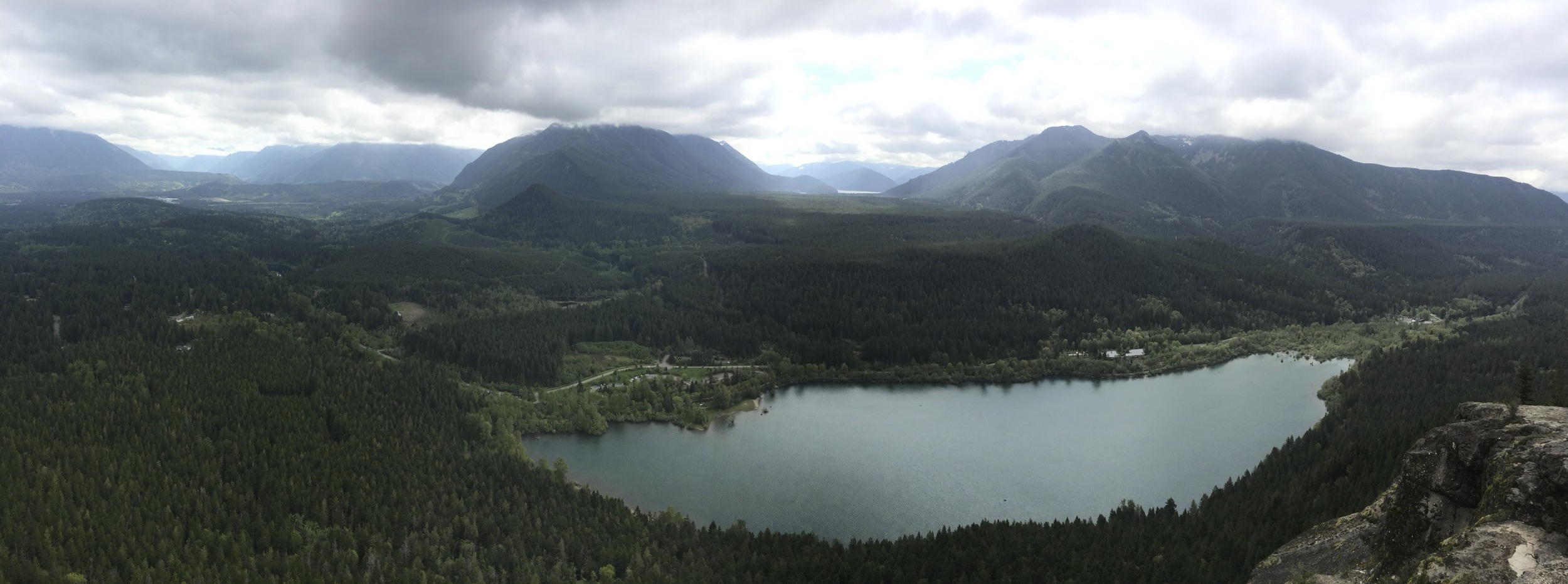
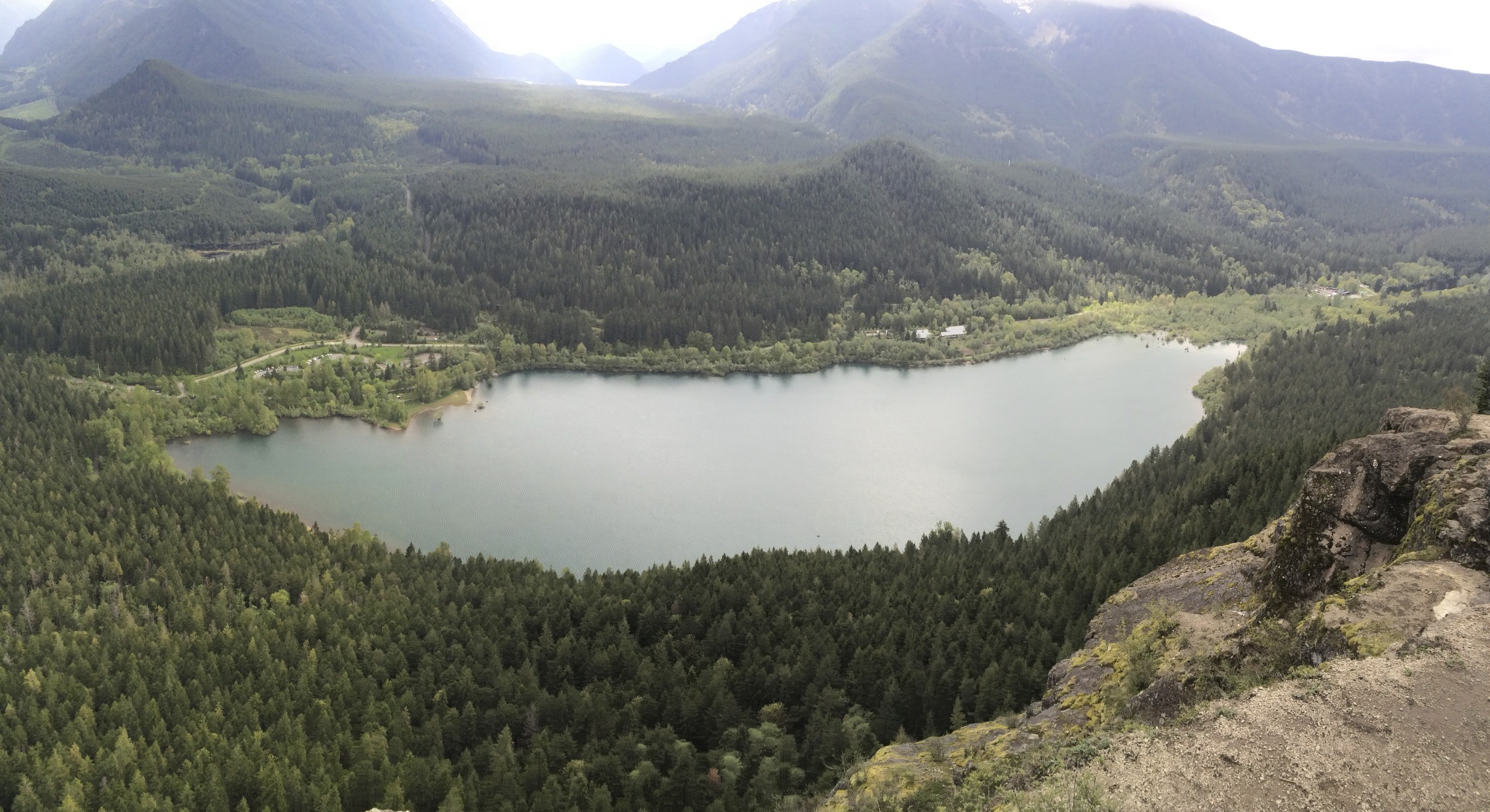
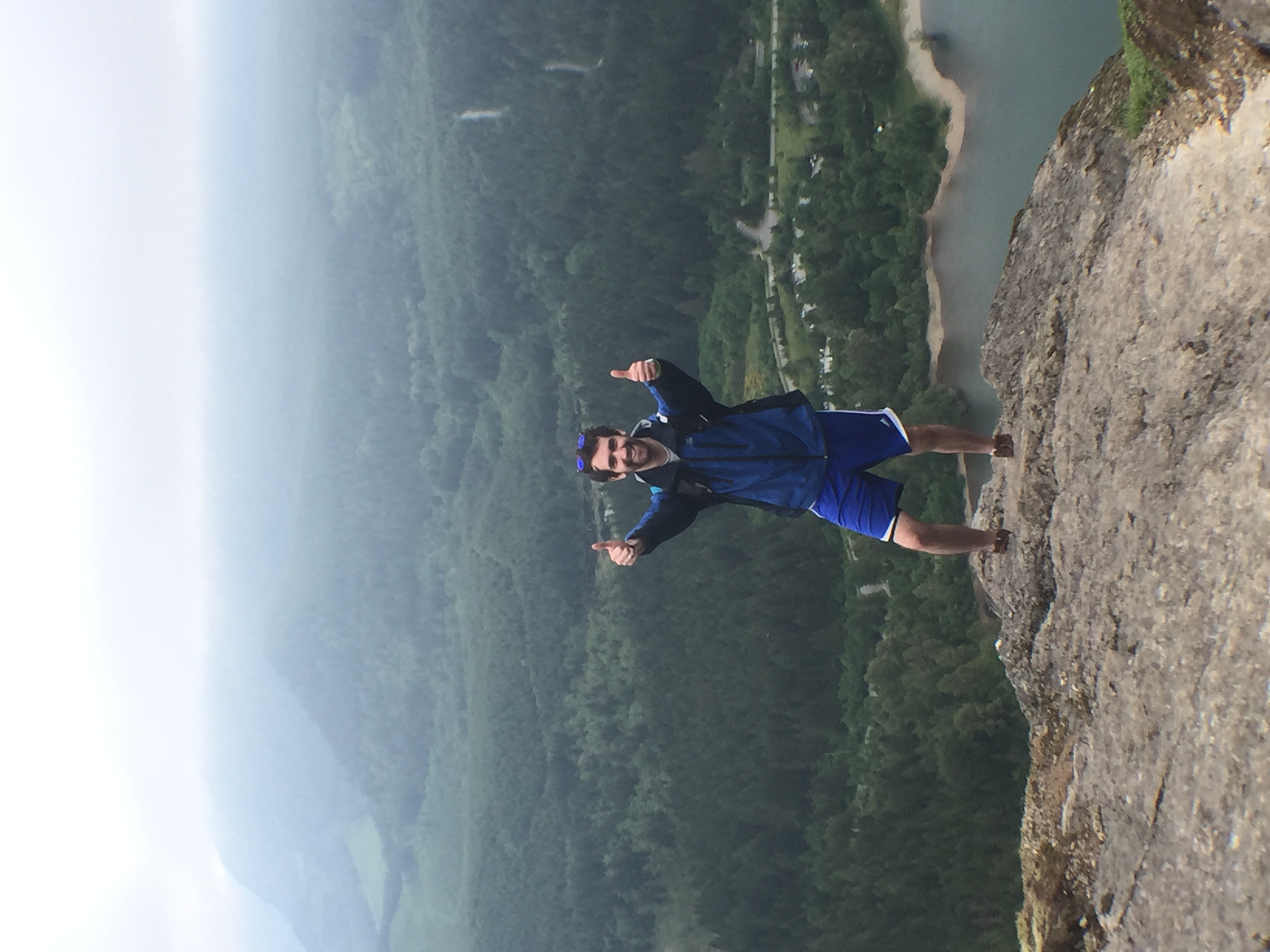
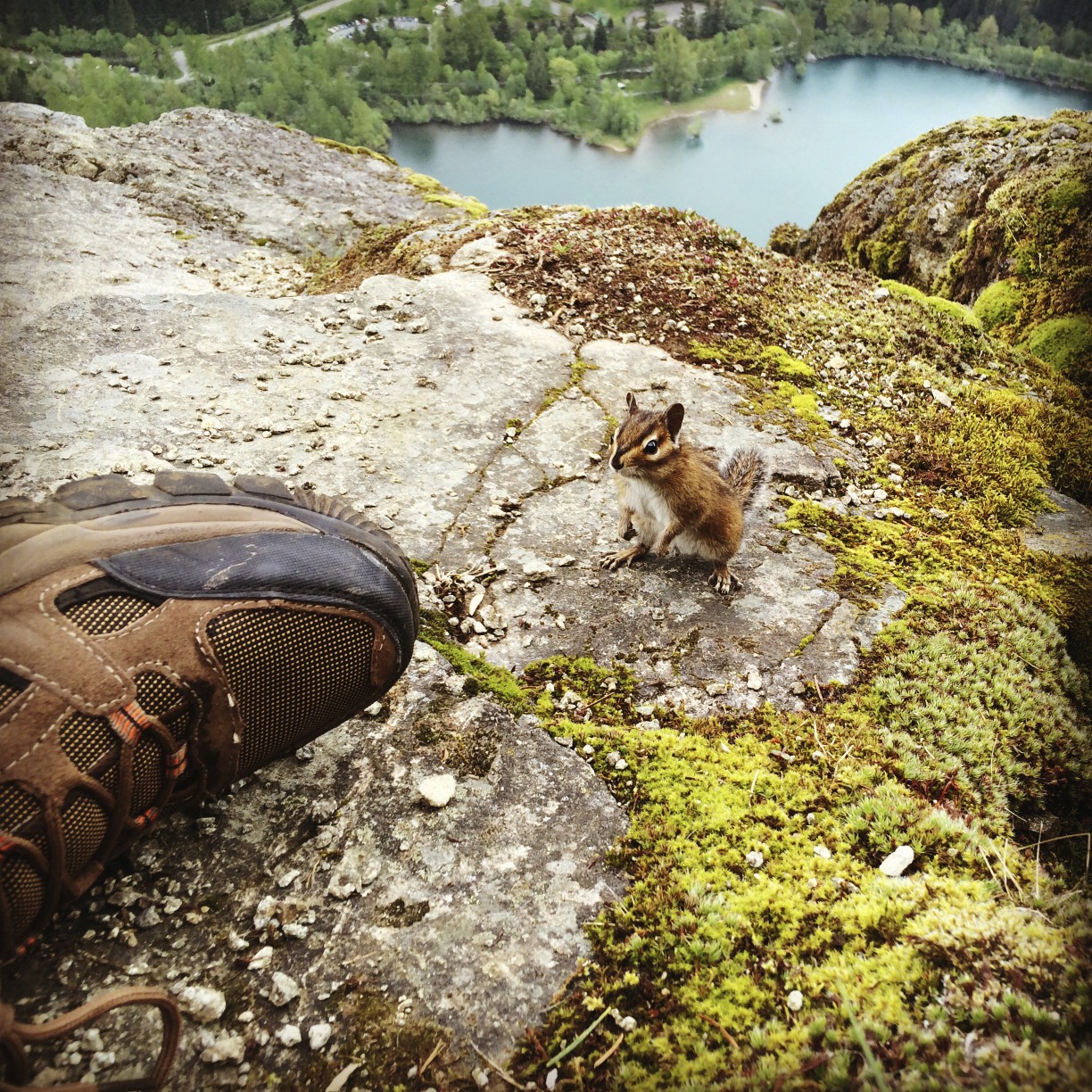
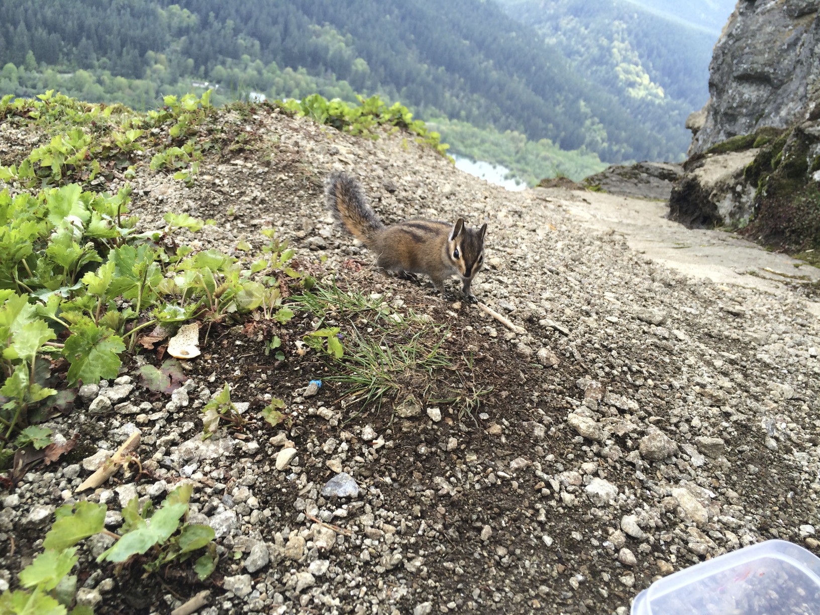
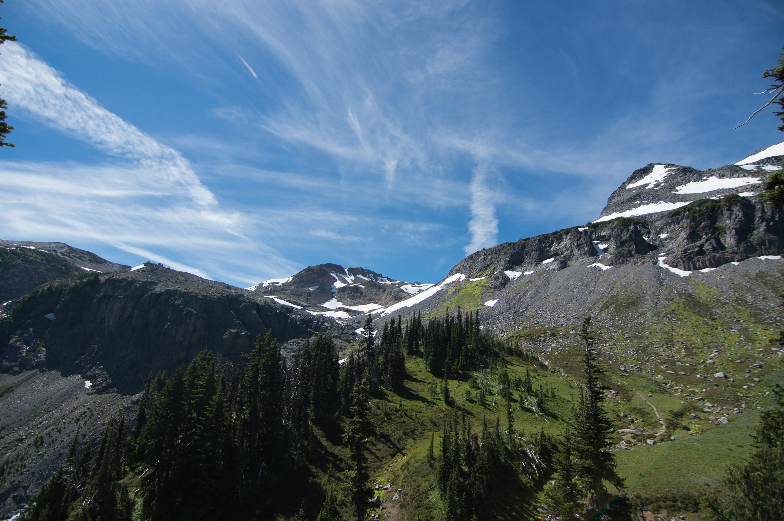
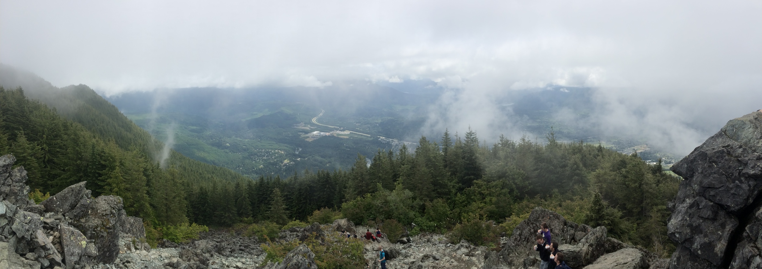
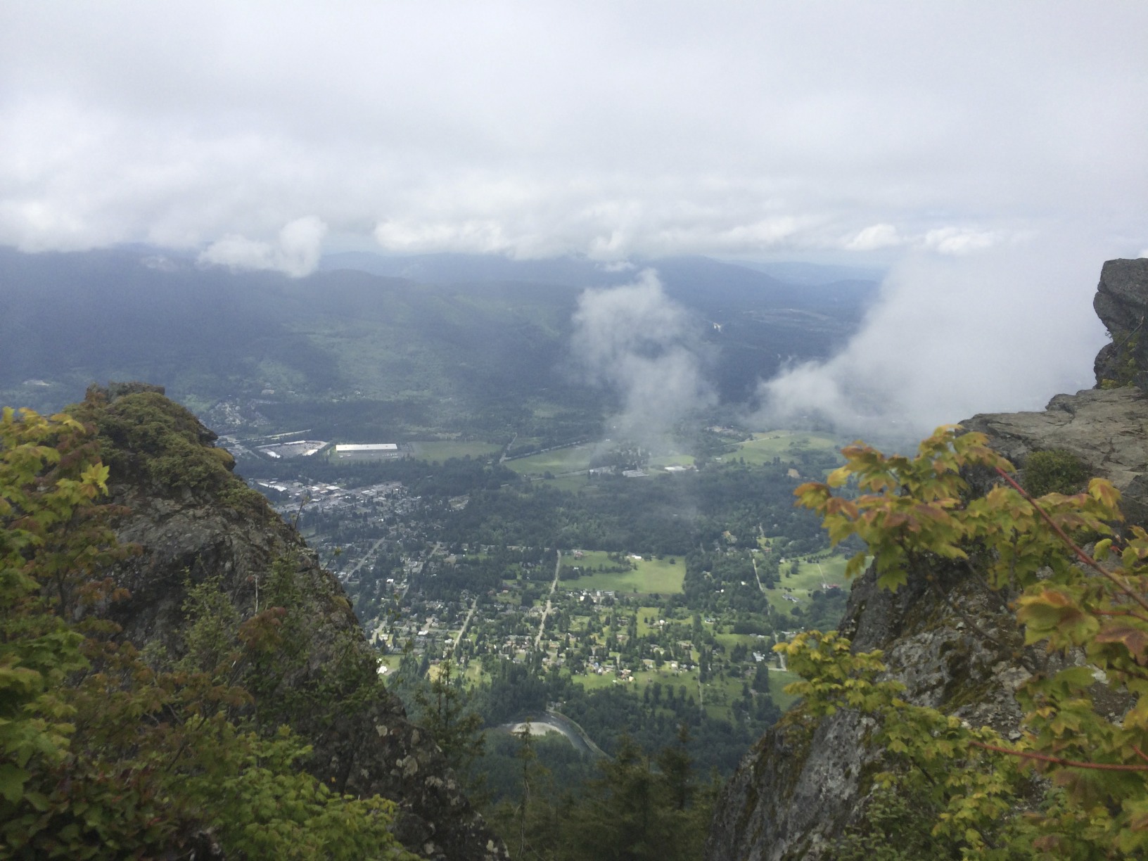
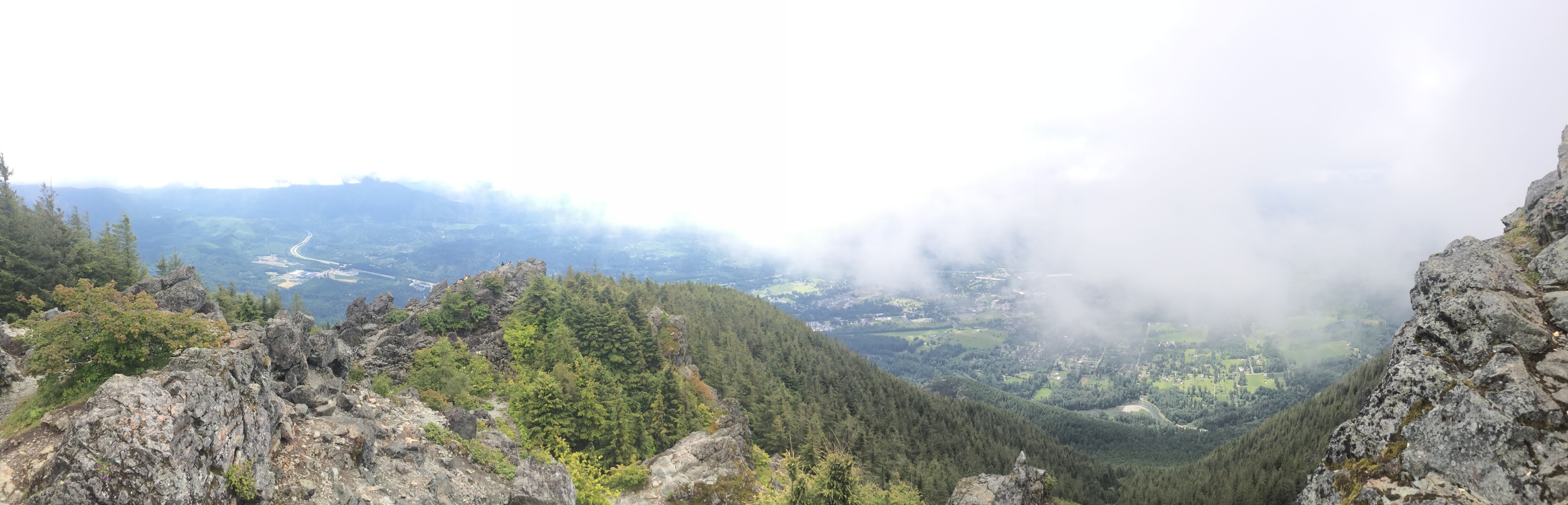
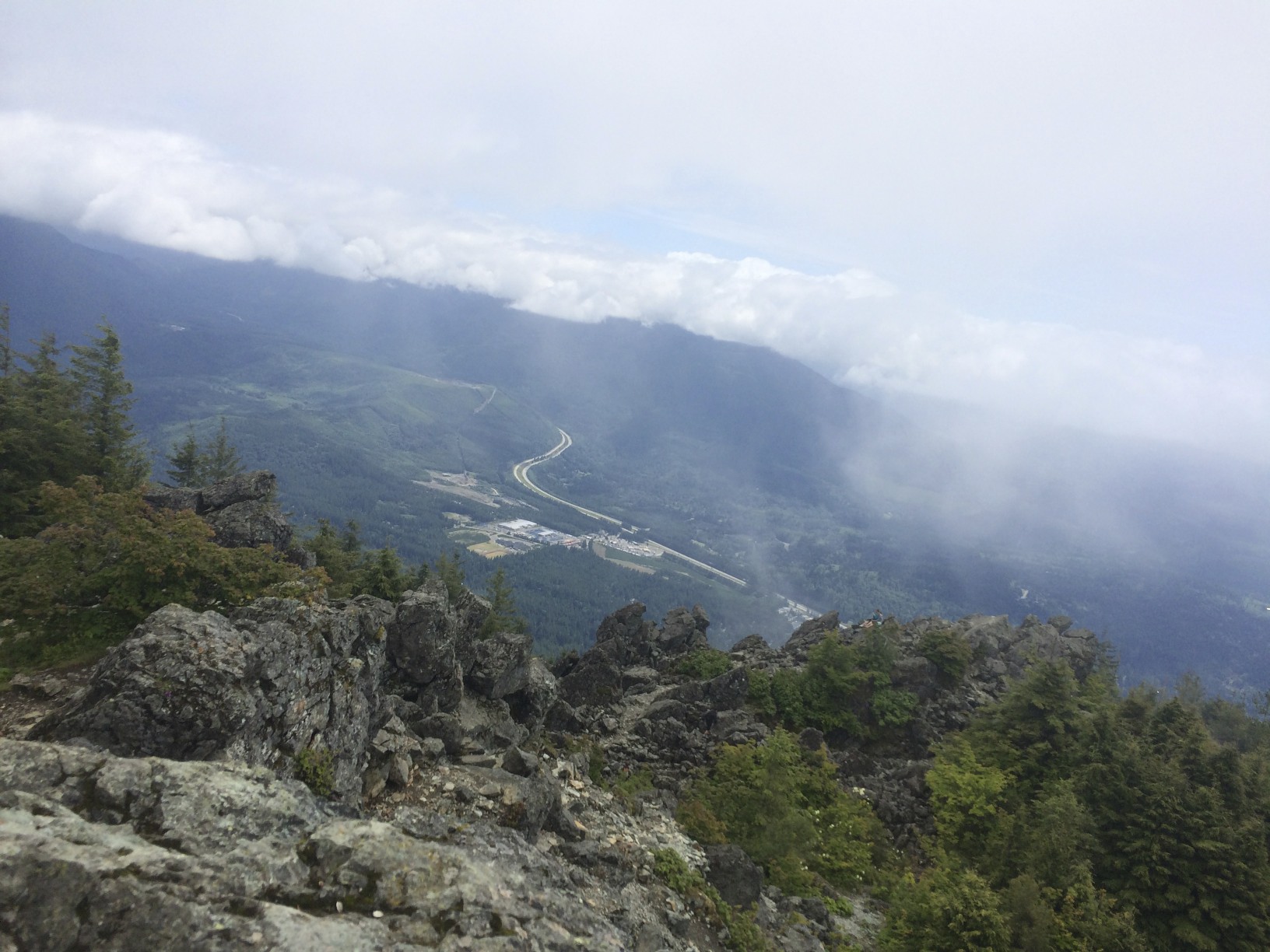
It's a very cool spot, nice view of the valley and town below. If you go on a day with better weather than when I went, maybe you'll see a paraglider taking off from here!

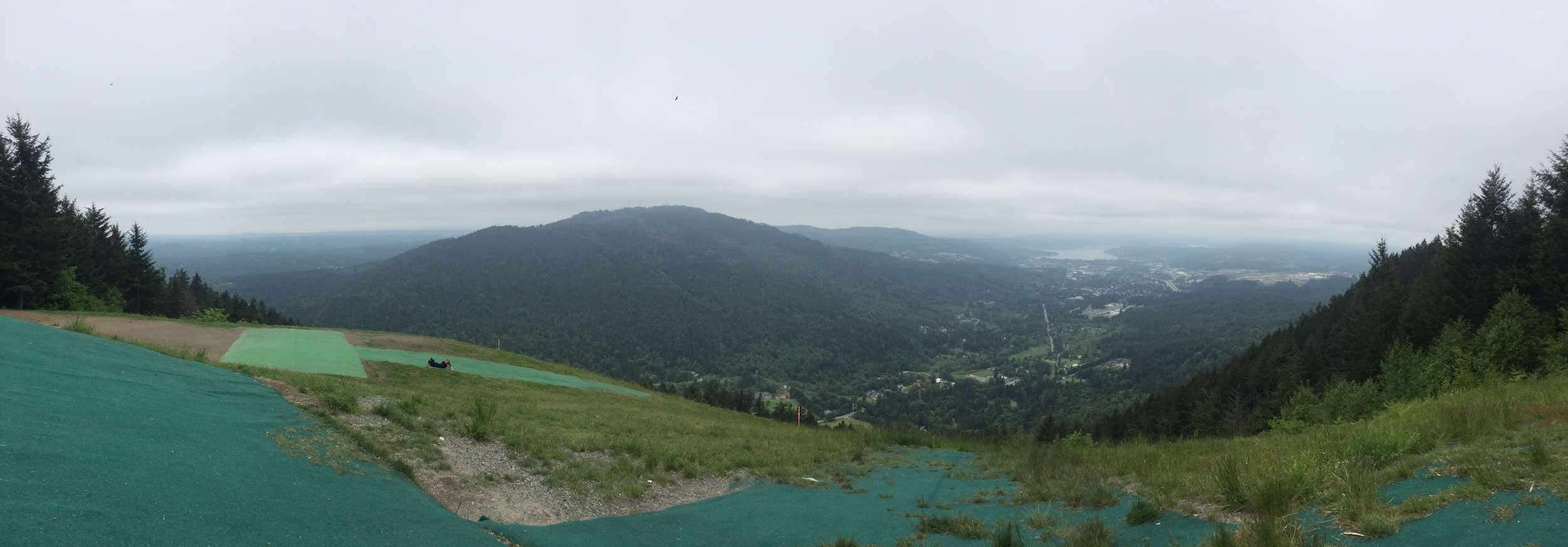
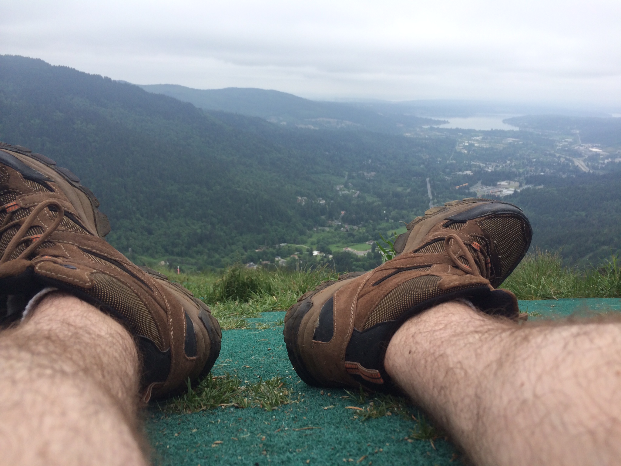
Ate my PBJ sandwich right here, saw several people make their ways to where I was. Shame there were so many clouds, though. 

Very well maintained and definitely an awesome view from the top! Value hike if I say so myself. Be sure to check out the Washington Trail Association page for this hike, although I do believe on that page the mileage roundtrip is off. Unless I hoofed 7.2 miles in under an hour. I mean, I like to think I am Superman but come on.

Check out more of my adventures on my website or follow me on twitter to keep up to date when I go on more!


Rattlesnake Ledge: The Bargain Hike You've Been Looking For

Have you been asking yourself, "Hey, self, it's self here. Where can I go for a hike that has magnificent views for the least amount of work?" Well, I am here to tell you about one such hike. Here it is, in all its monolithic glory. Rattlesnake Ledge.

The Basics

  • Round trip with breaks: 2 hours, 45 minutes
  • Car to summit: 1 hour
  • Summit to car: 52 minutes
  • Elevation gain: ~1100 feet over 2 miles
  • Amazing, outrageous views for a minimal amount of work put in
  • Foggy, sunny, doesn't matter: beautiful all the same
  • lots of signs, easy to navigate
 

North bend is easy enough to find, and this trailhead is pretty easy as well. I lost service about 2 minutes before getting to the trail parking lot, but there were tons of signs that made it clear and easy to find where to go after arriving. Very unlike my trip to Green Mountain. That ish was cray.

For Rattlesnake Ledge, a.k.a The Bargain Hike, there were signs along the way to make sure you stayed on track. I will be going back for the Rattlesnake Mountain East Peak hike soon, though. Sounds fun!

On the way up, there are several spots where you can peek out and see Mt. Si looming in the distance, hiding in the clouds and reminding you of just how easy you have it on Rattlesnake Ledge.

Most of the trail is pretty easily traversed, very dirt-heavy and megaroot footholds.

As you get closer to the summit, you'll see this sign.

The trail was having a lot of work done when I went last. This little guy has, in the bottom right, a hint to point you in the direction of the monolithic beast you've set out to see. Once you see this sign, you are literally 3 minutes from your destination. Off to the right yu have your final hidden viewpoint showing Mt. Si.

After this, your final 30 yard climb awaits. Easy rock to get up. There will probably be people there to great you. Very popular trail!

Once you are up that, you have more for your eyes to take in than can be done without moving your head, hence this panorama photo!

There is so much to see! The Cascade range in full view from your center to the right, the lake immediately below you, and Mt. Si towering in the clouds to your left. 

A bit cloudy for my liking, but that just means I will have to go again. Shoot. ;)

Here's my view from my spot I was sitting, looking at the way back up to the top. Also, I made a friend!

He stayed within 10 feet of me the whole time. Didn't come after me for food, and I didn't offer any. He even sat down towards the edge of the cliff I was at and just looked out at the view, just like me, for a minute or two. I enjoyed my sandwich and a bit of water before getting back up to the main area and beginning my descent.

On the way down, I noticed an area that was a few steps off the beaten path, It had a bunch of names and initials carved in a tree. Pretty sweet. I added my initials and continued back down to the trailhead. 

All in all, this hike was impressively worth the slightly steeper-than-casual incline. Once you get to the top you don't care about the way up. All you want to do is stay up there all day, and imagine what it is like when it is sunny! If it didn't look like it was about to rain, I would have stayed longer. Super rad hike!

For more information about Rattlesnake Ledge, check out the Washington Trails Association website, and be sure to follow me on twitter to hear about my newest hikes!

What other value hikes do you guys and gals know about? I am all about 'em. My mom told me to be smart with my money, but I can also choose to be smart about how my legs spend their gas too, haha.

Thanks for taking the time to read this report! Happy hiking!

Summerland: Be Sure to Take Your Allergy Medicine

I don't have allergies to anything (I am sure some of you are furious with me right now), but if I did and I didn't take my medicine before this hike, I would have hated life. SO. MANY. WILDFLOWERS. 

The Summerland trail is actually part of the longer, more intense Wonderland trail, and goes for miles and miles and miles. Summerland is the name of one of the campsites along the way; we will definitely be going back to this trailhead to go further, but Summerland was a great day hike. 

The Basics

  • Car to campsite: 3 hours with breaks
  • campsite to car: 1 hour, 30 minutes
  • Elevation gain: ~2200 feet over 4.3 miles
  • Most of elevation gain happens in the last 1.5 miles
  • Really easy first half
  • Many lookout points and beautiful meadows
 

This hike has the same makeup as an intense basketball game. Pretty mellow first half, tricky 3rd quarter with some twists and turns, and one hell of an unpredictable 4th quarter (GO WARRIORS). 

Getting onto Mount Rainier does require a $20 fee, but the day we went the money-taker machine was not working. So, we kinda got in for free. I want to help support the growth and maintenance of the trails, but it was kinda nice not having to pay. May the same fortune fall upon you!

We got to the trailhead around 7 AM, and that was a pretty solid time to arrive; plenty of parking at that time, although when we got back the parking lot (and road leading to it) were completely filled. Definitely get there early!

As you can see on the sign, there are (infrequent) reports of bears and other forms of wildlife on the trail. Please, do not bring your pets! Also, as always, make sure you have some kind of protection with you on this trail in particular. 

As we began this trail, it is pretty melancholy for the first 1.5 miles. It is like any other hike I have been on, many trees, dirt trails, a few rocks, and some bridges. Not to say it is not beautiful, because it most certainly is. 

After that 2-ish mile beginning to this adventure, you walk through several clearings, in and out of canopied tree cover. The day we went was super hot, even for it being 8:30 in the morning (already 76°!), so we were extremely happy to be in the shade for a lot of this part of the trail. 

The sweet part about being in the sun aside from getting my tan game "super stronk" was the lookouts. They were amazing! And they are so close that they are within "I want to go rogue and badass-ly cruise off trail to clime up" range. Do so at your own risk, as they are pretty steep on the way up/down. Also, I know that the Washington Trails Association probably would like for us to stay on the created trails. 

As you are going through these meadows, you'll begin seeing increasingly more and more and more and more wildflowers. I'm not a flower guy, but damn, these were pretty.

There are also many creeks, rivers, streams, and bridges you will come across during your quest to make camp, my favorite one being the "You're about to feel the pain" bridge. You cross it as you begin the elevation incline section of the hike. At just under 3 miles in, this trail becomes a bit more of a hike rather than a stroll through some pretty woods. 

SNOW! On a mountain!

This is how you know cuss is about to get real. Lots of stone steps, wooden walkways and fragrant flowers accompany you on your way, getting closer to camp... And with these come some pretty sweet views.

There were quite a few intense switchbacks here, but it was all worth it.

Here is where I started getting giddy. There was a sign and wooded steps welcoming us to the Summerland camp. Past those steps is a sweet open-meadow trail that has a great sweeping view of mountain and glacier.

After this, you've arrived at the Summerland camp! Look at this little concierge-looking mah-cussah of a sign. "Hey there! Let me point you in the direction of your desired section of camp." 

Here are some more spots and lookouts around the campsite. Pretty sweet, and well worth the trek. There's an awesome little refuge area for if the weather is crazy-bad (or wicked-hot like it was on this day). These. Views. Are. Awesome.

Oh, and uh, yes. That is most certainly either a) a beaver, or b) ...something else. WHAT ARE YOU?! WHO KNOWS WHAT THIS IS!?

At any rate, it's adorable as cuss.

We took some more photos around the camp. Here are two of my favorites. In the first one, my girlfriend absolutely loves the face I am making. I think it's pretty suave, myself. ...Okay, maybe it isn't. But it's grand. 

The second shot took some handiwork and cleverness, but eventually I got my phone to hang from the rafters and used my Apple Watch to trigger the camera. #NerdyAndProud

If you are feeling strong after this stop at Summerland, you can continue forward for another 1.5 miles to reach Panhandle Gap, which is a legendary view of multiple peaks across the cascades. Dorothy and I did not pack for that much extra travel, so we will definitely be coming back to conquer that beast. Those photos will be legit.

Have any of you been to Panhandle Gap? I want to know what it's like! I am just impatient, haha :P

Thanks again for reading, and happy hiking! Follow me on twitter and check out some of my other posts!


Mt. Si, Old Trail: The Standard in Washington Hikes

Here is a blast from the past! Good ol' Mount Si.  I went on this hike about this time last year, and it's the one that really got me addicted to the outdoors. I took my girlfriend when I went again but most of the pictures are from my first trip. We took the Old Trail when we went; there is a newer one that is slightly less steep, but where is the fun in that? Excuse the photos for this one, all I had was my phone.

The Basics

  • Round trip with breaks: 5 hours
  • Car to summit: 2 hours, 8 minutes
  • Summit to car: 1 hour, 30 minutes
  • Elevation gain: ~3000 feet over 3.7 miles
 

Believe the hype, this hike is rad. Starts out and you’re like “Hey this isn’t so bad”, but after 2 miles this beast takes on a whole new personality. But let’s start at the beginning. There are a few lookouts initially, but after those you are in the woods for quite some time.

This trail is probably the best-signed-as-you-go trail I've hiked. There were several markers to inform you how far in you were, and if there was a split-off, it showed you where you needed to go. At least I didn't get lost like I did on Green Mountain last year... That was embarrassing. But also badass. Mainly it was badass.

Specifically, and probably the best one, is at roughly 3.5 miles into the hike. It has a bunch of autographs and motivating messages reminding you that you're close! Feel free to add to it :)

The last photo was taken by my girlfriend, Dorothy; you can see it was much nicer weather when I went with her, haha.

In the woods there are places where you've got complete nature silence - all quiet except the noises of the animals in the trees. No cars, no roads... It is so unbelievably peaceful.

Here is another brief lookout point:

Once you get to about the 2 mile mark, there is an area with information about the Mt. Si fire some years back. There are a few stations with different information, some about the fire and some about the types of trees in the area.

I took a sec to leave my mark here as well... 

As you start getting higher past the 3 mile mark, you'll start to see the fog on a more overcast day or if it is still early in the morning. You're getting close.

...but by close of course I mean you still have another mile's worth of hiking and about 1000 feet left of elevation gain. And then, you're out of the woods and you've reached the end. Of the trees, that is.

It's easy to say you are done at this point, and the view is great. You'll get something like this but hopefully the weather is more like it was when I went with Dorothy. No one would judge you if you decided to make this your camp for the time it takes to eat your food. However, when you turn around from here, you've got a whole lot more awesomeness to conquer. I know you're up for it!

This is the first of two haystacks that you can scramble up, and here is the view from the top of it. 

Not bad, right? Weather could be better but oh well. :P There's a second haystack like I said, even more fun to scramble up. You can't see it, though, until you have ascended the first. 

That's where I went to eat my lunch. There's a few other viewpoints as well from here!

Sat up at the ledge as close as I could get. Legs dangling off, wind blowing, the whole deal. My mom would have been terrified, and I am pretty sure she was when I FaceTimed her on my phone. Yeah, AT&T gets a little signal up here! If only I could have talked to her on top of Mount Pilchuck.

Excuse the hair, it was windy up there!

The decent was pretty quick, about 25% less time than the climb. My legs were certainly tired, though! Mt. Si is great for a first big hike; if you have done Rattlesnake and Little Si and are looking for your next level, this is it!

As always, please refer to the Washington Trails Association website for additional information about this hike.

Thanks for reading, and happy hiking! Follow me on twitter for more hiking adventures!

Like, share, and post comments/questions below! I love talking with you peeps :D

My friend nominated me to share some of my work. Here it is. (Click to view and comment)

Hey there everyone! This will be a bit of a shorter post. I wanted to share with you a cool mini-project that I had going on for the last few days.

My friend nominated me to share three pieces of my work each day for five days; the challenge is designed for people who are a little more frightened of sharing their work with the public. Fortunately, I LOVE sharing my work, so this was a home run and I really enjoyed doing it. 

I went through some of my more recent work to post, and also went through some of my older work and added in here too. I posted the shots in order of when they were taken. Kinda cool to see the changes in my understanding of composition, exposures, saturation and the like. Fun stuff. *thumbs up* 

Also, super duper nerdy. But hey, I am a nerd so BOOMTOWN.

Anyway, enjoy!

It was fun to go through my older stuff and see the struggles I had when I was first starting out; over-saturated, composition could use some love for sure. Reflection is important in any kind of work. I think it is easy to be so focused on the here and now that we forget to look back on our past. That is where we learn the most, and can put into practice the lessons we have gleaned from history.

What other fun projects have you guys done like this? Leave a comment below with a quick blurb about it (or a quick "like" if you are too busy!) and I'll try and get a post going with that, too. :] 

Happy shooting!